It provides powerful tools to answer questions like: where is that located, how big/long is that, how is something located related to others (how far), why is it like that, are there any spatial patterns, and what happens if we do this or that?
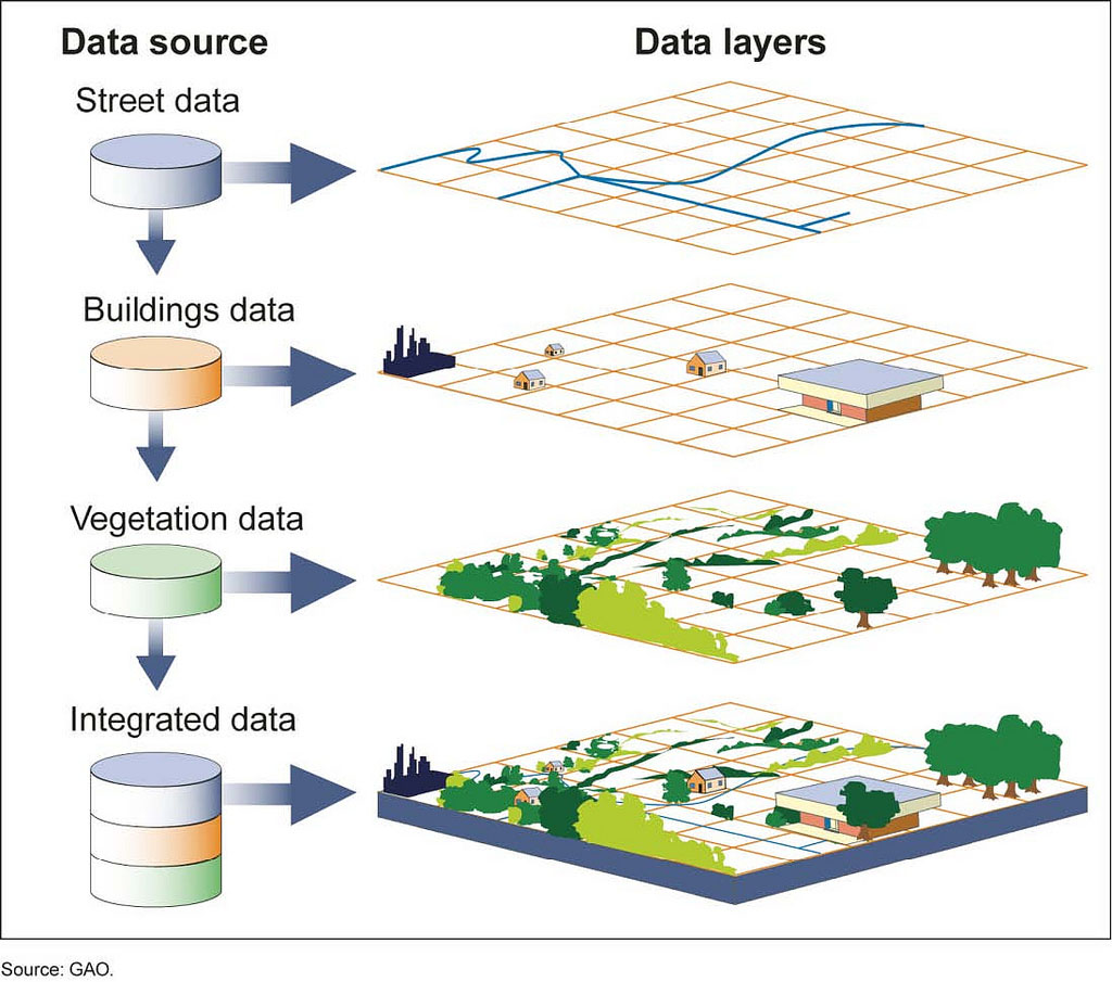
GIS is designed to capture, manage, analyze, and display all forms of geo-referenced information. GIS stores information as a collection of layers which can be linked together or overlaid by a common location component. GIS makes information available to reveal relationships, patterns, and trends in the form of maps, images, reports, graphs and charts. It also allows users to view,
understand, question, interpret, and visualize real world information easily. With GIS, people can compare and analyze different things simultaneously to discover how they relate to each other, optimize multiple scenarios, prioritize tough choices, and make the best decision efficiently.
The Penobscot Nation DNR has been employing GIS technology for a long time. When DNR was created in the 1980’s, there were fewer programs within the Department. Maps and spatial data were utilized at that point, but were normally contracted to outside GIS companies due to the lack of an internal GIS facility. As more programs and projects developed, the tribal GIS facility was desperately needed and was implemented in 1993.
In the early years, much effort was spent on acquiring digital GIS data. GIS is getting to be an indispensable tool for all nature-based business and people’s daily lives. The DNR GIS program plays an important role in assisting with the tribal natural resources and environmental management.
A Geographic Information System or GIS is a computer system that allows people to map, model, query, and analyze large quantities of data according to their location. GIS gives people the power to:
- capture and manipulate data
- create map images
- integrate information
- visualize scenarios
- present powerful ideas, and
- develop effective solutions
Who We Are
Binke Wang, a dedicated GIS Specialist, is responsible for all GIS operations and other GIS related activities. Binke has lots of experience using GIS for natural resource mapping and environmental management.
Binke received his advanced diploma in GIS from BCIT and a M.Sc. in Water Resources from University of Minnesota. He joined the Penobscot Nation more than 10 years ago and has completed many GIS-involved projects sponsored by the USGS, EPA, and BIA; along with other DNR staff.